
At Innodez, we believe in designing the perfect outdoor structures. Indeed, an outdoor structure should be an extension of your
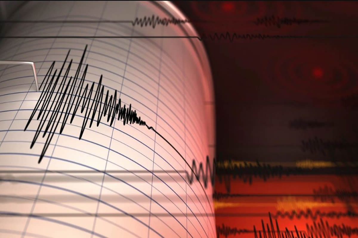
The 1994 Northridge quake gained record-breaking ground movements. (1.8 g) This was the largest horizontal peak ground acceleration ever measured in Tarzana. The peak ground velocity of 148 cm/s measured in Granada Hills was also the largest one ever measured. Both of the measurements occurred within roughly 15 km of the actual quake.
From the findings in other articles of this series, these two measurements are what caused most of the damage.
The near-source design forces from seismic zone maps in the Uniform Building Code (UBC) were consequently raised by this earthquake. From the editions between 1994 and 1997, both acceleration and velocity-related near-source factors became apparent. Consequently, these factors caused the design forces in Zone 4 to increase. Now, this seismic zone was already the largest by 2.0x.
This also caused the seismic design maps in NEHRP Recommended Seismic Provisions for New Buildings and Other Structures to increase. The NEHRP maps get regularly adopted into the International Building Code (IBC). They also replaced the UBC and other building codes.
Outlined below, we have the changes to the NEHRP maps that brought about another post-Northridge change: the latest version of U.S. Geological Survey (USGS) National Seismic Hazard Maps.
Before the Northridge quake, the NEHRP Provisions (1994 and prior releases) gave maps of effective peak velocity-related acceleration, Av., and effective peak acceleration, Aa. These maps were likewise applied to 2 of the 3 model building codes of that time. (National Building Code of 1993 and the Standard Building Code of 1994).
The seismic zone map contained in the UBC, (1994) was obtained from an Av map. Every one of these maps (with certain updates, modifications, and simplifications) were therefore based on the Aa and Av maps that got first included in the 1978 Tentative Provisions for the Development of Seismic Regulations for Buildings. (the ATC 3-06) These seismic design maps got very loosely based, (again with certain updates, modifications, and approximations) in 1976 in the publication of a USGS peak ground acceleration (PGA) fully probabilistic hazard map.
For additional info on seismic design and hazard maps before the Northridge quake, see USGS Spectral Response Maps and their relationship with Seismic Design Forces in Building Codes for reference.
In the NEHRP Provisions 1997 edition, the seismic design maps switched to the short-period and one-second spectral response acceleration parameters. (SS and S1) Both parameters are closely linked to the seismic response of buildings. These new maps are more directly based on the USGS National Seismic Hazard Maps. The changes introduced came from Project ’97.
The project was a joint effort between the developers of the NEHRP Provisions and the USGS. Project ’97 also became adopted to the seismic design maps from the nominal hazard level of 10% likelihood if exceeded within 50 years or 2% in 50-year ground motions. (factored by 2/3.)
This change was mainly motivated by 19th-century earthquakes in the eastern and central United States. Similar to pre-1997 seismic design maps, Project ’97 maps kept truncating probabilistic USGS National Seismic Hazard Maps. Pre-1997 maps then got truncated at a PGA of 0.4 g.
Above the correlated spectral response velocities, which refers to any place SS > 1.5 g and S1 > 0.6 g, Task ’97 maps became covered in newly established deterministic ground movements. In a few cases, these capped ground movements in 1997 NEHRP Arrangements were bigger than those that corresponded to near-source elements in the 1997 UBC.
Every one of the Project ’97 adjustments outlined above have lingered through the seismic layout maps in use today. That is, with some added adjustments. For additional information on Task ’97, a great referral is a journal magazine labeled Growth of Maximum Taken Into Consideration Earthquake Ground Activity Maps.
Along with the 1997 NEHRP Provisions, the Project ’97 maps later became included in the 1998 ASCE 7 criterion and the 2000 version of the IBC. Exactly and twenty years later, Projects ’07 and ’17 caused extra changes that showed up in the most current (2015 NEHRP Stipulations) as well as suggested next-generation (2020 NEHRP Provisions) seismic design maps.
The USGS has notably evolved post-1976 National Seismic Hazard Maps, after the publishing of the Probabilistic Seismic Danger Analysis (PSHA) system. That said, the modern generation of USGS maps started in 1996, after the Northridge quake. More modern maps have gotten better due to the involvement of quake scientific research as well as engineering communities via workshops and public comment periods.
From 1994 to 1995, the USGS convened a total of 6 regional workshops focused on the 1996 National Seismic Hazard Maps. The workshops caused substantial alterations to the techniques that were implemented. After publishing interim maps on the internet in 1995, additional remarks on methods brought about even more adjustments. A comparable procedure followed for 2002, 2008, 2014, and 2018 updates of the USGS maps.
Likewise, continuing via more current USGS updates, many scientific improvements got designed for the 1996 National Seismic Hazard Maps. First included were roughly 500 faults in the western United States, one of which the Northridge fault. The earthquake incident frequencies from them were approximated from fault slip rates or trenching research studies. Second, spatially smoothed historical earthquake areas supplemented the wider zones of seismicity displayed in previous USGS maps.
Such smoothed seismicity gets implemented specifically to contain the threat from unknown sources of earthquakes. (like the Northridge blind thrust fault revealed by the 1994 quake.) Third, alternate designs of seismic hazard got organized into a logic tree formalism. This is now a typical technique used to represent the modeling uncertainty inherent in seismic hazard mapping.
To learn more about the 1996 USGS National Seismic Hazard Maps, see the documentation associated with it and/or Appendix B of the commentary of the 1997 NEHRP Provisions.
Other modifications to the USGS National Seismic Hazard Maps initiated by the 1994 Northridge quake evolved to fruition following the 1996 maps. As an example, the 2002 USGS maps applied 5 newly introduced models of ground motion attenuation which pulled data from the Northridge quake. 1996 maps utilized 3 such models that preceded the 1994 quake. From 2 of the newly established ground-motion models, so-called “hanging wall terms” for thrust (e.g. Northridge) or “reverse earthquakes” became utilized in version 2002 maps.
At one of the USGS workshops that met up in the 2002 update, members of the community proposed including the phenomenon of near-source quakes rupture directivity witnessed in the Northridge quake. However, because of the computational requirements required to accomplish that, and the lack of published literature on those types of approaches, directivity effects were not explicitly included in 2002 maps. However, the explicit incorporation of directivity stays an objective for future USGS updates.
Seismic layout maps in model structure codes, (and the fully probabilistic USGS National Seismic Hazard Maps that they get based on), have advanced considerably from the ATC 3-06 (1978) and the 1976 USGS maps. Earthquakes like the 1994 Northridge quake have managed to teach new lessons and prompted changes from formerly learned lessons. Particularly, the Northridge earthquake caused near-source ground movement data and additional observations that were systematically used to improve the USGS maps. Seismic design maps before Northridge in the NEHRP Provisions (and also ASCE 7 and IBC) were further enhanced, by basing them more directly on the USGS updates.
The 2018 USGS update has incorporated yet another effect observed from Northridge more recently: amplified ground activities coming from deep sedimentary basins at reasonably lengthy spectral response periods.
Similarly, Task ’17 has suggested usage of USGS ground motions for durations greater than one second long. (along with shorter durations). These, as well as other continuous adjustments, are regularly advancing model building codes. The outcomes are architectural designs that are much more appropriate for responding to seismic hazard, which play as an advantage to society by stabilizing construction prices and seismic risk. However, more information from future quakes are needed (e.g., on rupture directivity), and many more changes to seismic design and hazard maps are still yet to come.

About Author
InnoDez